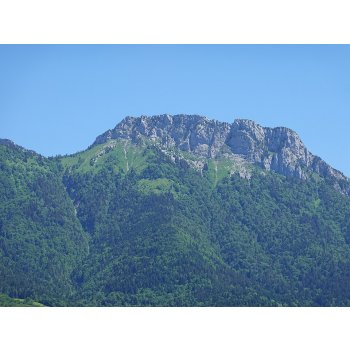
LE LANFONNET
wants you to discover a point of interest from Talloires - Lac Annecy

LE LANFONNET
1793 meters
Your name
Message
Friend's email
1793 meters
The highest point of the mountain is located in the north of the cliff, at 1,793 meters above sea level.
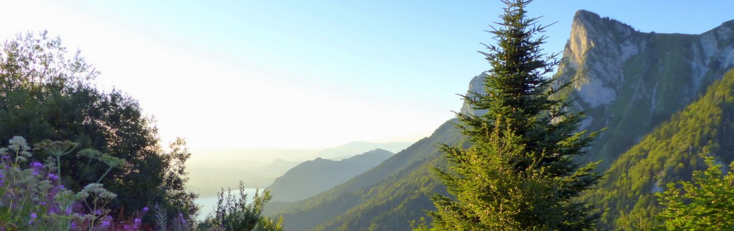
The hiking trail used by the GR 96 and the GRP Tour du Lac d'Annecy crosses the Riant aulp east of the Lanfonnet. It is from the small pass between the Murraz rock and the Lancrenaz rock at the southern end of the alpine pasture that the small path leading to the top of the Lanfonnet starts.